
FAA Part 107 Certified for Oregon Drone Operations
Real Estate Photography & Videography: Create grand displays in 3D or traditional 2D images.
3D Modeling: Using advanced drone technology, detailed 3D models are generated for construction, architecture, and landscape planning.
Roof Inspections: Drones provide efficient and accurate roof inspections, identifying issues such as leaks, damage, or wear without the need for scaffolding or ladders.
Surveying and Mapping: Utilizing drones equipped with GIS and LiDAR technology to produce high-resolution maps and surveys, ideal for land development, agriculture, and environmental monitoring.
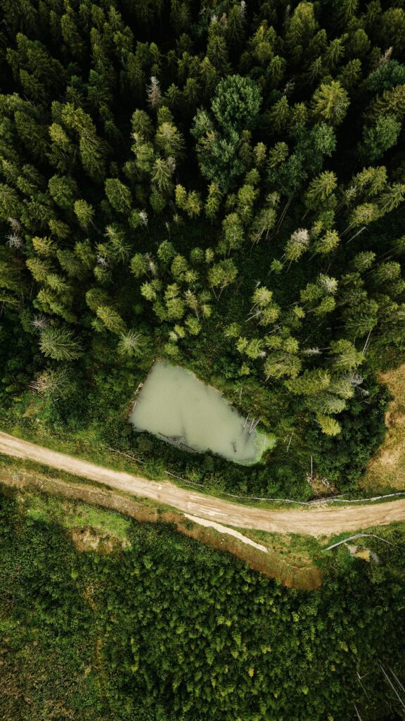
Aerial Photography and Videography: Capturing stunning aerial footage for marketing, real estate, and personal projects, offering a unique perspective that traditional methods can’t match.
Real Estate Media Solutions
Professional Drone and Visual Content Enhance your property listings with professional drone photography and video services. Showcase properties from unique angles and captivate potential buyers with engaging visual content.
Drone Advertising – We specialize in guerilla (legal) drone light show advertising.
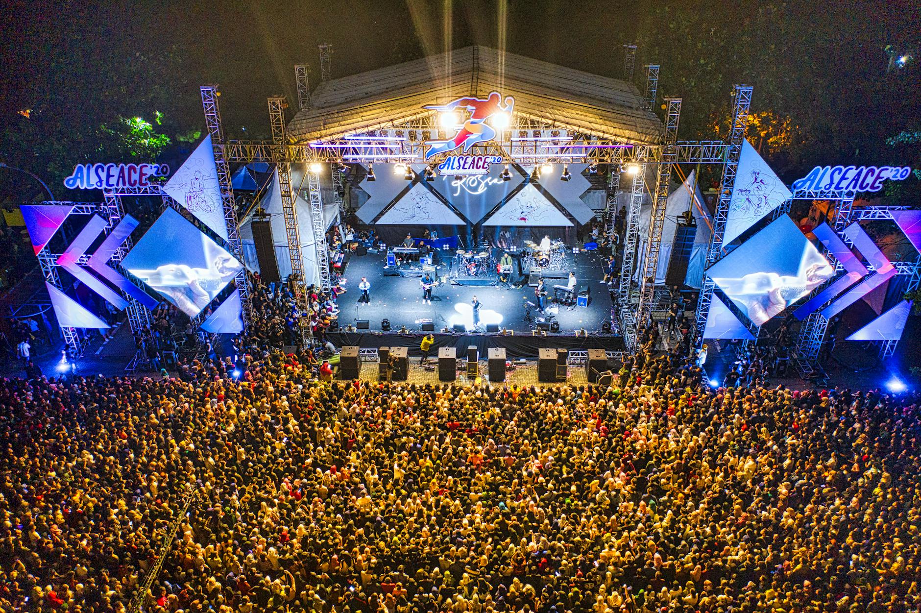
Concert footage

If you need a skilled Drone Pilot in Eugene, Auto-Flow delivers on quality and reliability. Contact us to discuss how our drone services can support your project.
Contact Us
We’re here to help! Get in touch with us today.
Phone: 541 510 5472
Email: info@auto-flow.co